Peat Surveys
Our dedicated team of field technicians can provide low cost, rapid turnaround of data from a variety of sites including remote setting, difficult access and terrain and forestry.
We offer a range of services relating to peat including: mapping, characterisation and spatial analysis of peat occurrence; mapping of peat drainage with associated development of programmes for ditch blocking and the monitoring of the success of these programmes; peat slide hazard risk assessment, peat management plans including detailed estimation of peat extraction volumes, reuse and peatland restoration.
Our dedicated team of field technicians can provide low cost, rapid turnaround of data from a variety of sites including remote setting, difficult access and terrain and forestry. Using high end GPS equipment accurate locations and information can be reviewed and recorded, even in forested areas, allowing on site interpretation and comparison with other data e.g. ecological habitats. These features allow us to provide a high quality and cost effective service in accordance with current regulatory guidelines.
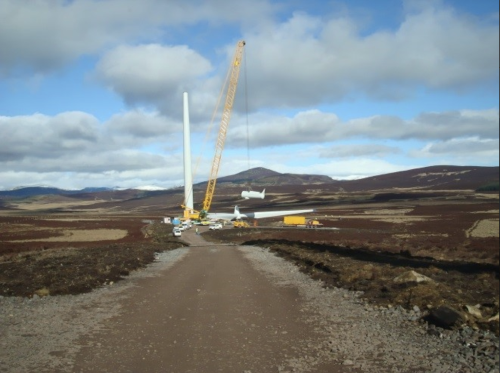
Targeted depth of penetration probing coupled with verification coring allows our team of field technicians to provide valuable early coverage of sites enabling infrastructure to be located away from areas of deep peat. Coring, sampling and logging allow the distribution and characteristics of the peat to be determined.
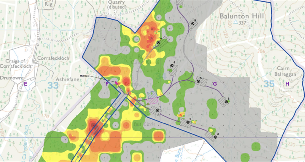
The acquired data is analysed by our GIS team to produce peat depth contour plots for the estimation of peat extraction associated with the project development. These volumes are used to develop peat management plans including appropriate reuse, peatland restoration and waste minimisation; as well as the carbon balance assessment.
Fluid Environmental Consulting develop peat slide risk assessment models by combining peat data with our interpretation of geomorphological, hydrological and topographical characteristics.